Pamela Mack, Clemson History
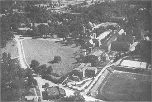
I propose a session on finding and using aerial photographs (back to the 1930s) and satellite images (back to the 1970s) for GIS. I can share a little of the history of aerial and satellite photography and show some of the places where they can be reliably found. But an equal priority is conversation about the uses of aerial and satellite photography to illustrate and analyze historic landscapes.


Links are here: www.clemson.edu/caah/history/FacultyPages/PamMack/aerialforgis.html